

Roofers in Swalecliffe
15.4 road miles from Margate. Slipped tiles, leaking flat roofs and tired chimney stacks in Swalecliffe are inspected on the roof first, with the photographs in your hands ahead of any price.
- Canterbury planningPlanning decided by Canterbury City Council.
- Grade II churchGrade II church, first listed 29 September 2012.
- STG, RochesterBuilding control through the STG partnership.
A 2012 listing, three nearby areas and Flood Zone 2
St John's
Swalecliffe's Grade II church, dedicated to St John the Baptist, holds Church of England services, so the faculty system covers its roof.
Next door
Church Street (Whitstable), Chestfield and Tankerton have conservation areas within about 2.5 km, so your street is checked against them.
Flood Zone 2
The Environment Agency flood map for planning puts the centre of Swalecliffe in Flood Zone 2.
Swalecliffe ward
A ward of 3,962 people, one listed church and a flood-map note
| Council | Canterbury City Council |
|---|---|
| Building control | STG Building Control Partnership |
| Scaffold and skip licences | Kent County Council |
| Population, 2021 | 3,962 (Swalecliffe ward) |
| From Margate | 15.4 road miles, about 23 min |
| Grade II, first listed 2012 | St John the Baptist church |
| Environment Agency map | Flood Zone 2 at the centre |
| Listed within 500 m | 1, National Heritage List |
Swalecliffe is a village on the Whitstable side of Canterbury district, with 3,962 usual residents in its ward at the 2021 Census. One listed building stands within 500 metres of the centre, and Canterbury City Council answers its planning questions.
Sources: ONS Census 2021, Canterbury City Council, Kent County Council, OSRM road routing.
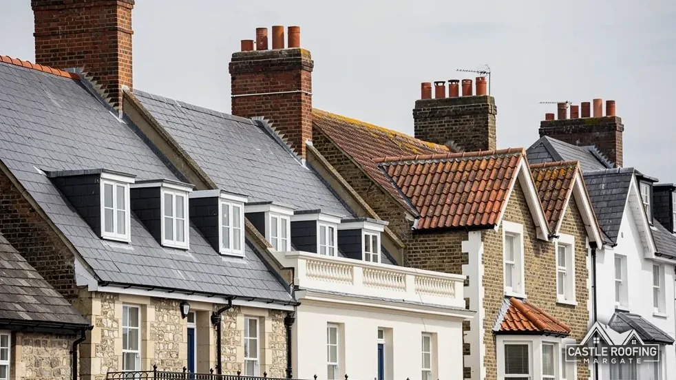
Swalecliffe, church to kerb
Swalecliffe roofs, from the Grade II church and the Whitstable conservation areas to the kerb outside
The church and its consent route, the conservation areas around the village, and the licence rules and Manston weather figures that frame a re-roof, in three chapters.

Chapter 01 of 03
St John the Baptist and the faculty route
Swalecliffe's one listed building within 500 metres of the village point is the church dedicated to St John the Baptist. Historic England lists it at Grade II, entry 1410894, first listed on 29 September 2012. The ward had 3,962 usual residents in the 2021 Census. A church changes the paperwork for anything done on its own site, and it is a useful marker for the streets around it, because an older house nearby is worth checking against the list in its own right before anyone climbs up. The entry gives the grade, the list number and the date the building first went on the list, and that record is what any consent application refers back to.
Who uses a church decides how its roof is regulated. St John's belongs to the Anglican Church of England and holds services. Section 60 of the Planning (Listed Buildings and Conservation Areas) Act 1990 exempts a building in ecclesiastical use from listed building controls, and a 2010 order narrowed that exemption to the denominations it names. For the Church of England the substitute is the faculty system, so a slate repair on St John's goes through that process instead of a listed building consent application.
Other denominations differ. The Roman Catholic Church, the Methodists, the United Reformed Church and the Baptists each run a separate system for their buildings. Buildings of the Unitarians and Quakers, and those vested in the Churches Conservation Trust, come back under listed building consent, and a scheduled monument needs scheduled monument consent before anyone lifts a tile. Which of these applies depends on who owns and uses the building, so ownership and use are the opening questions on any chapel or church roof.
A listed house follows the ordinary route. Section 7 of the 1990 Act asks for listed building consent when work would affect the building's character, and Canterbury City Council decides. A roof's character lives in its covering, its ridge, its stacks and its flashings (flexible metal strips dressed round a stack or along a wall). Our lead roofing page shows how those are made, and roof repairs and emergency covers the repair side. The sequence for a listed address is the list entry, an inspection, pictures to you, and then an application written to match the work.
Myth
A Church of England church needs listed building consent for roof repairs.FactWhile it is in use it is exempt, and the faculty system applies instead (section 60 of the 1990 Act).
Myth
Every denomination's church is treated the same way.FactEach denomination named in the 2010 order has its own system, and other faiths use listed building consent.
Source: Planning (Listed Buildings and Conservation Areas) Act 1990, sections 7 and 60; Ecclesiastical Exemption (Listed Buildings and Conservation Areas) (England) Order 2010
Chapter 02 of 03
The conservation areas on the edge of the village map
The national planning dataset names four conservation areas near Swalecliffe, each within about 2.5 km of the village point: Church Street in Whitstable, Chestfield, Tankerton, and the Canterbury and Whitstable Railway and Whitstable Station area. Canterbury City Council counts 97 conservation areas in its district in all. Which one, if any, covers a given Swalecliffe house depends on the address rather than the village name, so the council's answer for the address comes before our price. Chestfield is a separate village with its own page, and the boundary lines that matter for one are not automatically the lines that matter for the other.
The effect of a conservation area on a roof is narrower than people expect. It makes the land article 2(3) land under the General Permitted Development Order, which removes dormer rights; the roof window conditions are in our roof window planning guide. Re-covering a roof is a different question. Section 55 of the Town and Country Planning Act 1990 puts outside development any change that does not alter how a building looks from outside in a material way, so a like-for-like repair may need no application at all.
Checking a Swalecliffe address, in order
Find the street
We place the house against the listed entry and the conservation boundaries around the village.
Ask the council
Canterbury City Council confirms the conservation area and Article 4 position for your address.
Pick the route
Planning, listed building consent or the faculty system, depending on the building.
Price and book
One written price follows, and the scaffolder then applies to Kent County Council.
Canterbury City Council shows the areas under an Article 4 Direction on its online map. A direction withdraws chosen permitted development rights across a set area, and it can turn a modest roof alteration into an application. We look the address up, ask the council whether any direction applies and what it removes, and pass the answer to you in writing, so the question is closed before the scaffold is booked.
Flats, weight and building control
Flats are treated differently. Canterbury City Council advises that permitted development simply does not exist for flats or maisonettes, so altering how a flat looks outside needs planning permission, and for a converted house we need to know who holds the roof. Building control for the district is handled by the STG Building Control Partnership. On re-covering, the Planning Portal's yardstick is that work staying below 25 per cent of the building envelope and below 50 per cent of the roof needs no application, while a new covering that is 15 per cent or more heavier needs approval.
Chapter 03 of 03
The kerb, the licence and the Manston numbers for Swalecliffe
Scaffolding on a Swalecliffe footway or carriageway needs a licence under section 169 of the Highways Act 1980, and the highway authority is Kent County Council. Under Kent County Council's guidance the scaffolding firm submits the application, so dates are settled with that firm after the survey. The licence costs £52 per week for 2026 to 2027, each application needs to arrive 5 working days ahead, and public liability cover of £5 million is required. Conditions set white paint on the upright standards for 2.5 metres up from the pavement, a 1.2 metre gap from scaffold to the carriageway edge, and lights after dark where the scaffold sits in the carriageway or within 45 centimetres of it.
Skips are permitted separately: £45 per week for 2026 to 2027, applied for 5 working days ahead, with 3 days' notice if it is renewed. A skip may be up to 5 metres long and 2 metres wide, and a skip left on the footway also needs express permission, with a 1.5 metre walkway kept. Kent County Council adds an inspection fee of £120 and a retrospective permit fee of £45 for a skip put down without a permit, so the permit is booked before the lorry comes. At the survey we measure the footway, because the 1.2 metre clearance is a condition and it shapes where the scaffold can stand.
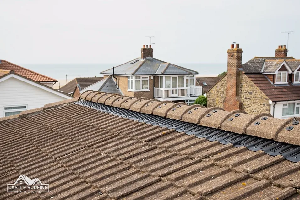
As a regional yardstick, the Met Office averages for Manston, 1991 to 2020, run as follows: annual rainfall of about 613 mm across 110.05 days of at least 1 mm, with a mean wind speed at 10 metres of 9.86 knots, rising to 11.21 knots in January. Swalecliffe sits on the Kent coast, and Cupa, the slate maker, says a coastal position raises the exposure grading, as do hills and height. BS 5534 provides the wind uplift formulas, so a roof's fixings are worked out for that site.
None of this is a promise about how a roof will behave in a given storm. It explains why ridge tiles, verges and flashings are fixed mechanically as well as bedded, and why a quote that is silent on fixings is incomplete. A roof inspection is where those fixings are first looked at, from the ground and close up, with pictures sent to you afterwards, and the findings explained in plain terms before anything is priced.
10-Year workmanship guarantee. In writing
Around Swalecliffe
Swalecliffe between Whitstable and Chestfield
Swalecliffe falls under Canterbury City Council, the STG partnership and Kent County Council's highway licences, as do Chestfield, Whitstable and Herne Bay, which means a roof here is dealt with through one set of offices, and the council's Article 4 map is the first stop for any older house.
Swalecliffe church, boundaries and permits
Does the Grade II church in Swalecliffe affect roof work on nearby houses?
Only the church itself. The church dedicated to St John the Baptist was first listed on 29 September 2012 and holds Church of England services, so work on its roof goes by the faculty route. A house nearby has a list entry of its own, where it has one, plus its own conservation and Article 4 answer from the council.
Is my Swalecliffe street inside a conservation area?
Canterbury City Council confirms this address by address. The national planning dataset puts Church Street in Whitstable, Chestfield and Tankerton within about 2.5 km of the village. Canterbury City Council counts 97 conservation areas across its district, and we ask the council before we price, so you hear the answer first, before any scaffold or skip is arranged.
Who inspects a re-roof in Swalecliffe for Building Regulations?
The STG Building Control Partnership handles building control for Canterbury City Council. The Planning Portal's test is that less than 25 per cent of the building envelope and less than 50 per cent of the roof needs no application, and a covering weighing 15 per cent or more extra needs approval. Canterbury itself sets no separate percentage, which makes this the test we work to.
What if a skip must stand on the footway outside a Swalecliffe house?
Kent County Council wants express permission for a skip on the footway, with a 1.5 metre pedestrian walkway kept clear. The permit is £45 per week for 2026 to 2027 and is applied for 5 working days ahead. Without a permit the council adds an inspection fee of £120 and a retrospective permit fee of £45. The skip company, not you, files that request with Kent County Council.
Send the Swalecliffe roof to us
Pictures of the roof are the quickest start; a visit works too, and the survey ends with one written total.